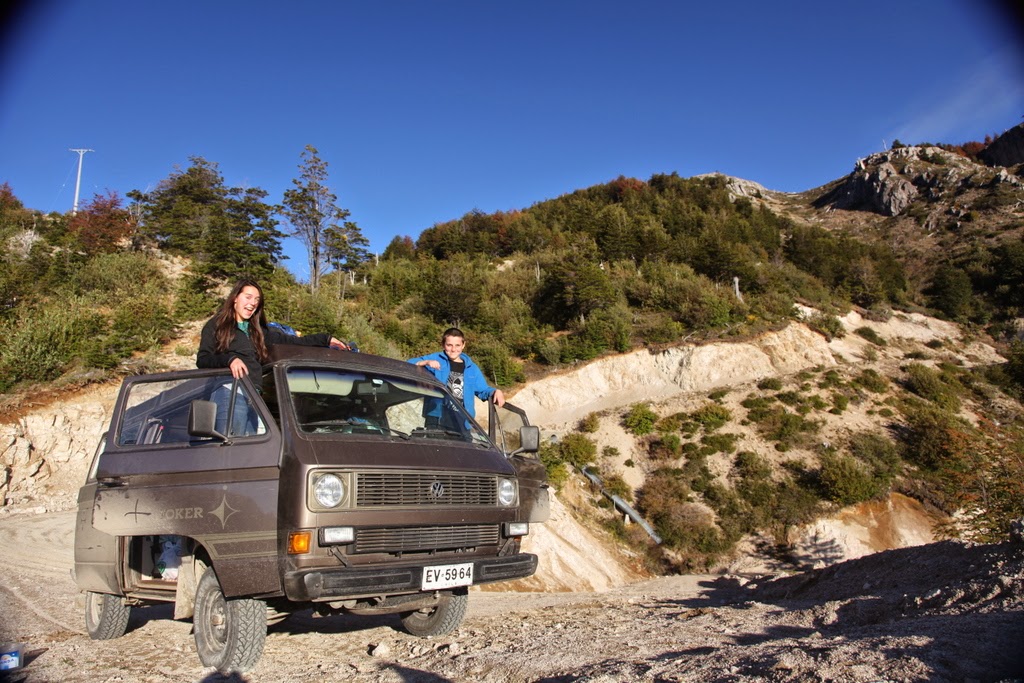
After a healthy chunk of time in the morning spent cleaning sensors for transport back to the US and downloading and analyzing the last couple months of data, we said goodbye to Omar and his family and hit the road south. This was the true beginning of our adventure as there were now no pressing appointments or research projects to complete. Our schedule was now dictated by only a single deadline of being back in the US around early August. That said, the very first photo taken was of some interbedded clastic and volcanic sediments.
A bit further, after crossing into the Rio Muerta drainage, Dylan and Dad headed up a promontory to get a good view of the basin and took an interest in big hairy bugs and colorful birds.
The view from above showed a wide valley filled with glacial sediments with high terraces revealing the high stand position of Lago General Carrera during the last glacial maximum.
Though we tried to take only photos and leave only footprints, we brought back a healthy collection of burrs from toe to knee.
In Puerto Muerta, we turned to the east and followed the northern shore of the lake toward Puerto Sanchez where there are magnificent marble caves dissolved into island shorelines. The drive required climbing a suite of tight switchbacks cut into cliff faces and a romp rolling over hummocky glacial topography. Once in Puerto Sanchez, we made a plan for the next day and tucked into a riverside park under a stand of yellow poplars.
Day 8
We woke up greeted by a cow grazing on the
grass of the park we decided to sleep at; about 20 feet away, there was a
backhoe making quite a bit of noise removing a fence. It was our first night
sleeping in a town and I was still a little sour about the fact that the
"nature bathroom" wasn't as private as those at our prior sleeping
spots. We had a slow morning and decided on scrambled eggs with last night’s
leftovers for breakfast. This was the view out of front door, looking west!
Yesterday, we decided that 1 o'clock was the
best time to see the marble caves, so we had some time to hang out before our
trip. Mom sat in the sun and played the ukulele as Dad did some catching up on
work. Wells and I decided we'd explore the river that ran alongside the park. With
our tea in hand we walked towards the mountains with a 45 minute time limit. We
jumped over "fences" of piled thorn bushes and over stones in the
river and talked about Tom Hanks and video games.
Around 12:30 walked
towards our guide Luis's(?) house. A rock aficionado, he was very excited
to have a geologist around to answer his questions. After much talk of minerals and the history of the small
town, we finally got on the boat.
Strangely, the weather was clear and warm, as
it had been for our whole trip so far; and the lake shone clear and almost unnaturally
blue. The caves were definitely worth the trip, it's crazy to think they'd been
formed by water! Our guide took us into 2 caves and in the second, we hopped
out and walked around through the seemingly endless passages joining caves. We
squeezed/crawled through a tiny tunnel that connected two sets of caves and it
felt like going into the center of the earth (even if it wasn't very far). We
finished our trip with a visit to some large marble cliffs on one side of the
island and turned back towards Puerto Sanchez. Here are a bunch of photos from our trip.
We soon had to leave and said goodbye to tiny
Puerto Sanchez, taking the only road back to the main highway. On the way down,
we met a skinny stray dog, fell in love, and decided we'd take her down to the
nearest town so that she'd find some sort of shelter and food. It was a hard
parting, but we don't have any room for a dog.
We continued on to Puerto Tranquilo
to get some gas, and drove about 10 km to Lago Tranquilo to camp for the night.
We found a prime spot super close to the lake, took some long exposure photos, made dinner, and watched the
second Star Trek movie. A day well spent.


